All Hands on Deck! 3D Modeling for Outbreak Investigations
The Geospatial Research, Analysis, and Services Program (GRASP) and CDC’s Vessel Sanitation Program (VSP) produced a video that explains the vital role geospatial science and technology can play in supporting cruise ship outbreak investigations. The video (All Hands on Deck!), featuring Dr. Amy Lavery and Dr. Jared Rispens, showcases the collaborative work of ATSDR and CDC to stop illness from spreading from one voyage to another.
| Interested? Check out the All Hands on Deck! video. | |
|
|
Public Health Impact: These investigations illustrate the powerful ways geospatial science and technology can advance CDC’s response to outbreaks on cruise ships.
Partners: Vessel Sanitation Program, National Center for Environmental Health Geospatial Expertise Provided: 3D modeling, geospatial technology, and data visualization |
Novel Partnerships and GIS in Public Health
Gastrointestinal illnesses (GI) can be challenging to control on cruise ships because of the close living quarters, shared dining areas, and rapid turnover of passengers. After an initial epidemiological health investigation in 2018 of the consecutive outbreaks to identify the cause of the illness and stop it from spreading, the source remained unknown. The Vessel Sanitation Program (VSP) partnered with GRASP to use geospatial mapping to visualize the spread of illness.
Applying Geospatial Science and Technology to Enhance Traditional Public Health Investigations
To visualize the outbreak on the cruise ship, GRASP generated a 3-dimensional (3D) model of the cruise ship, making this one of the first projects where GRASP and VSP used 3D visualization. The 3D ship model mapped rooms that had sick passengers to visualize the spatial relationships between the sick passengers and the locations of their staterooms. The investigation team also used the 3D model to map data from public vomiting incidents and identified two incidents that took place in public locations during the initial phase of the outbreak. Without the 3-D model of the cruise ship, investigators may not have identified potential landmark moments in the outbreak.
The GRASP and VSP investigation team also used GIS to look for important spatial patterns during a cruise ship outbreak, such as a cluster of rooms with sick people. In one investigation, they examined a ship that had ill passengers on board on the voyage after a previous outbreak. By using GIS, the investigation team discovered that the outbreak on the second voyage started in rooms that had sick passengers on the prior voyage.
Impact of Work and Future Directions
These investigations illustrate the powerful ways geospatial science and technology can advance CDC’s response to outbreaks on cruise ships. Mapping these incidents can show events that could be related to the spread of illness and can have implications for the way cruise ship investigations occur in the future.
Building on this work, CDC is exploring how geospatial methods can aid investigations in other confined space environments such as hospitals, hotels, dorms, or other buildings that may have unusual patterns of illness. GRASP has already used this 3D method to develop and visualize a hotel model for the investigation of Legionnaires’ disease at a large urban hotel.
“The GRASP and VSP partnership is important because we’re applying geospatial science and technology to enhance traditional public health investigations.”
Amy Lavery, PhD, 2017-2019 – EIS Officer, GRASP
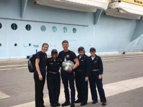
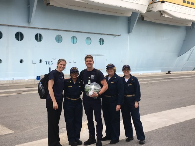
GRASP and VSP investigation group