Explore Our Work
Explore recent GRASP geospatial projects at CDC/ATSDR to learn how geospatial science and geographic information systems (GIS) can help public health professionals and communities understand the relationship between disease, environmental exposure, and health.

Explore GRASP projects to learn how geospatial science and GIS can help scientists and communities understand the relationship between disease, the environmental, and health.
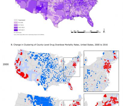
Explore our map gallery for a glimpse at the unique maps GRASP creates to advance public health science, technology, analysis, visualization, and emergency response.
Learn how GRASP applies the CDC/ATSDR Social Vulnerability Index to identify and map socially vulnerable communities that need support before, during, and after a hazardous event.

Read through the various scientific publications and resources GRASP has published since 1990, including those authored by or acknowledging GRASP staff’s contributions.